Construction
Dream. Plan. Build.
Aerial imagery is an essential tool for the construction industry.
Problems solved
Safety Hazards: Drones reduce the need for workers to access high-risk areas like rooftops, towers, or bridges, minimizing potential injuries.
Time Inefficiencies: Rapid site surveys and inspections speed up project timelines.
Cost Overruns: Early detection of issues helps avoid costly rework or delays.
Data Gaps: They provide detailed and accurate data for better decision-making.
Environmental Impact: Monitoring and minimizing environmental impact during construction.
Communication Barriers: Enhanced visuals improve understanding among stakeholders.
Services provided
Aerial Site Surveys: Generate high-resolution maps and 3D models.
3-D Modeling: Used to collaborate with architects for virtual project rendering
Progress Monitoring: Regular flyovers to document and track project milestones. Plan for weekly or monthly missions.
Volume Calculations: Measure stockpiles and materials efficiently.
Inspection Services: Identify damage or wear in hard-to-reach areas.
Environmental Monitoring: Track compliance with environmental regulations
Marketing
Showcasing Progress: High-quality visuals highlight project milestones for stakeholders. Project time lapse from an elevated perspective.
Enhanced Presentations: Interactive 3D models and maps impress clients and investors.
Social Media Content: Eye-catching footage boosts visibility and engagement.
Customer Trust: Transparency through real-time updates builds confidence.
Project Proposals: Professional imagery strengthens bids for new contracts.
Brand Image: Highlights commitment to safety, efficiency, and modern practices
-
![Stockpile Measure]()
Stockpile
-
![]()
Build it.
-
![]()
Document progress
-
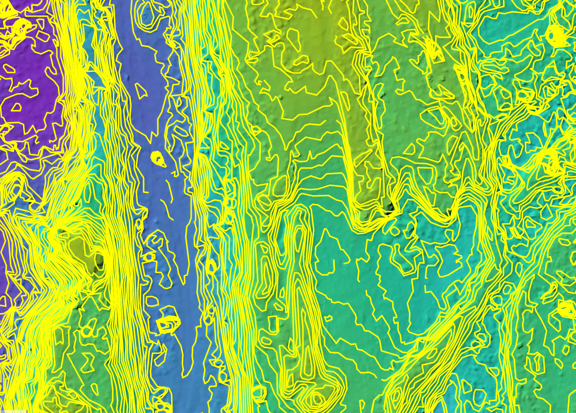
![Terrain for drainage analysis]()
Terrain
-
![]()
Elevation